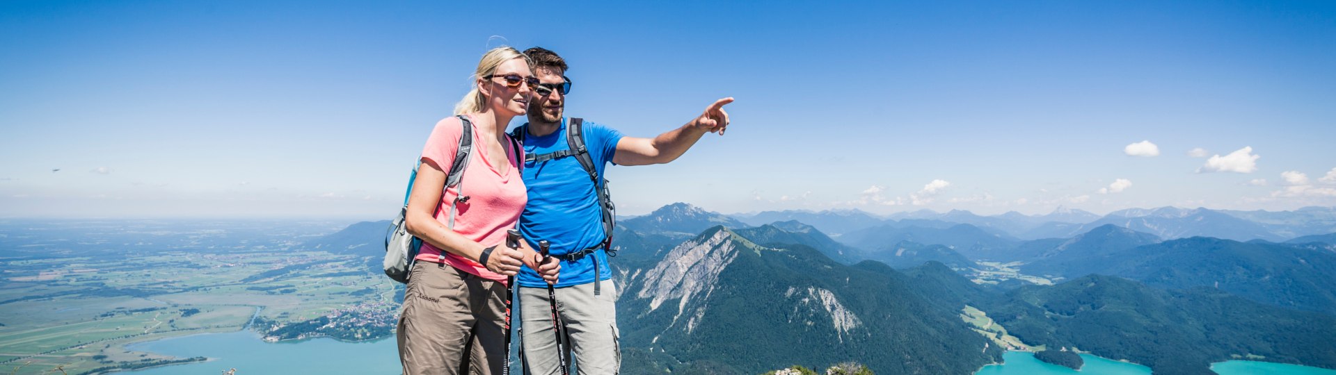
Hiking
The Land of Two Lakes (“Zwei-Seen-Land”) is a hiking paradise with virtually limitless possibilities. Explore the exceptionally attractive and well-preserved landscape between the lakes Kochelsee and Walchensee on one of numerous routes and discover your own, personal favourite spot.
Lainbach waterfall
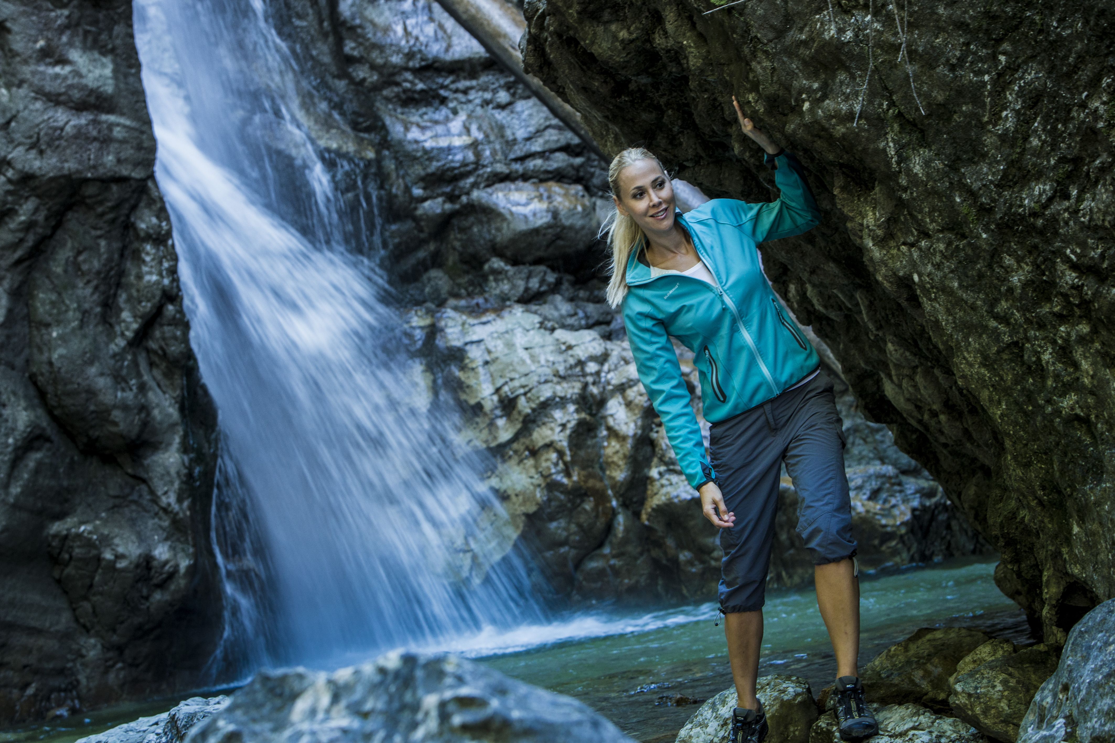
A circular route along the bird nature trail to the waterfall. Detour to the “Tiroler Kreuz” lookout point with a fantastic view of the Herzogstand and Kochelsee.
Start: Kochel am See Town Hall
7.5 km elevation gain of 190 m
Zwergern peninsula ("Halbinsel Zwergern")
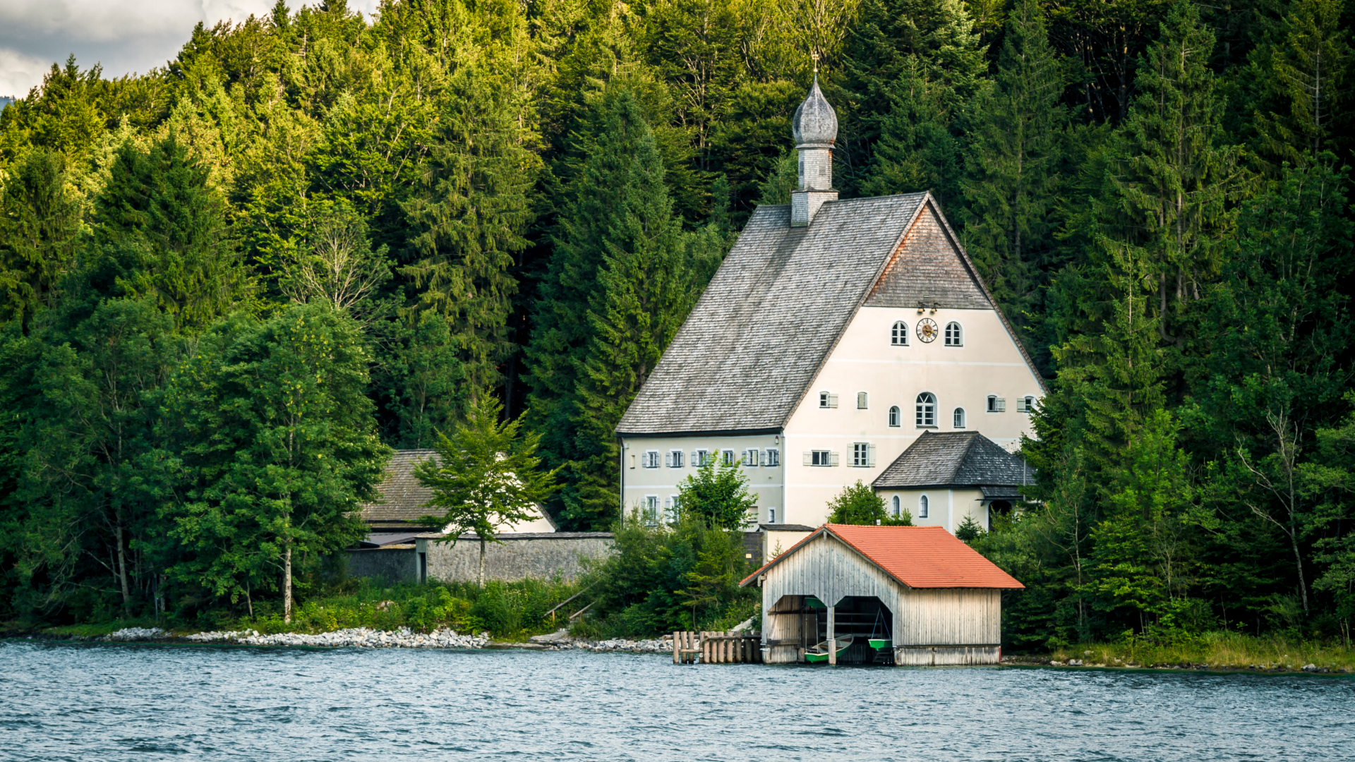
A leisurely circular hiking trail along the paradisiacal shore of Walchensee, via St. Margareth and Katzenkopf.
Start: Einsiedl or Lobisau
6 km elevation gain of 70 m
Rock path ("Felsenweg")
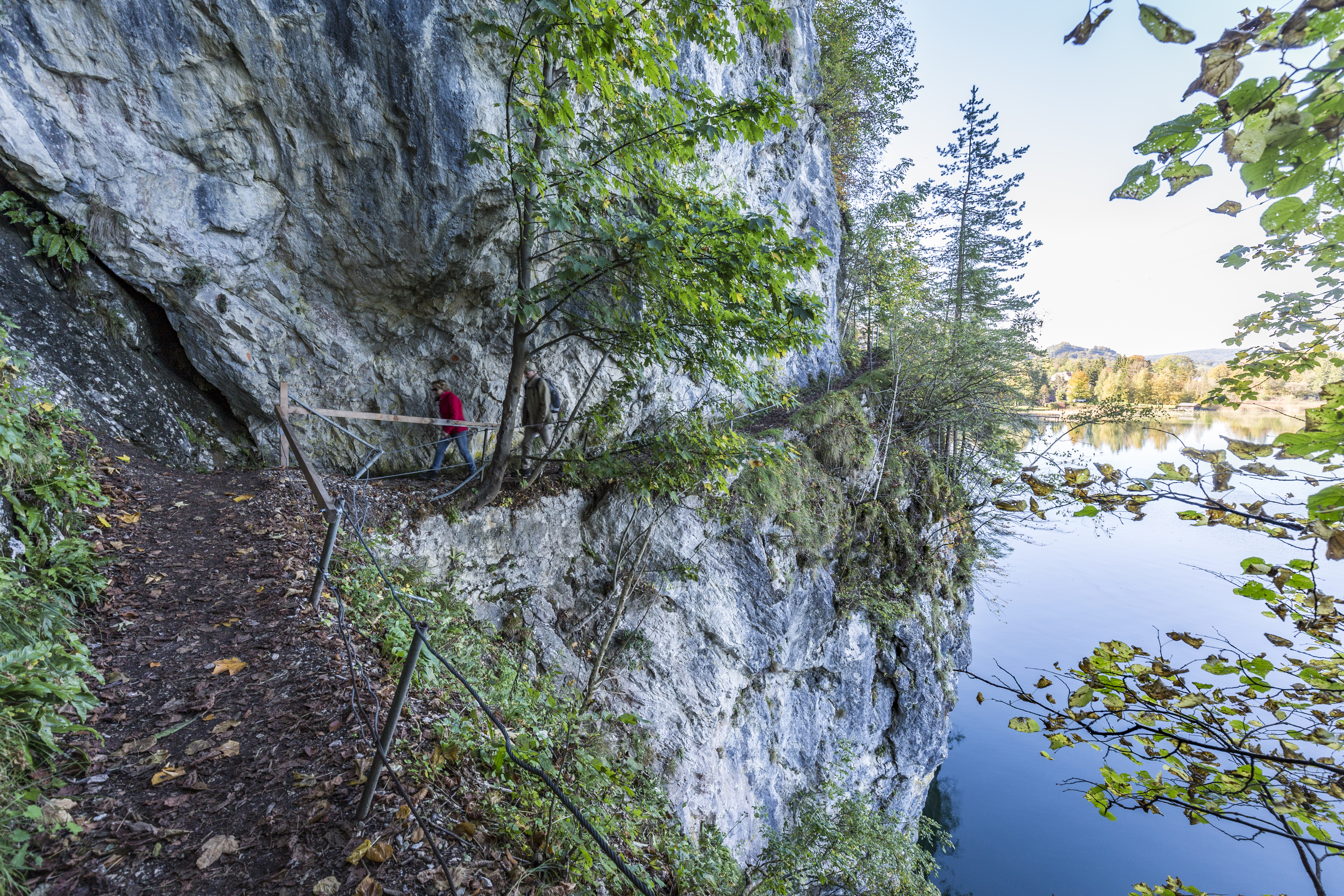
A hiking trail with a great view of Kochelsee. It is possible to visit the hydro-electric power plant, also in combination with a trip on the motorboat.
Start: Kochel am See or Walchensee Hydroelectric Power Station
5.3 km elevation gain of 103 m
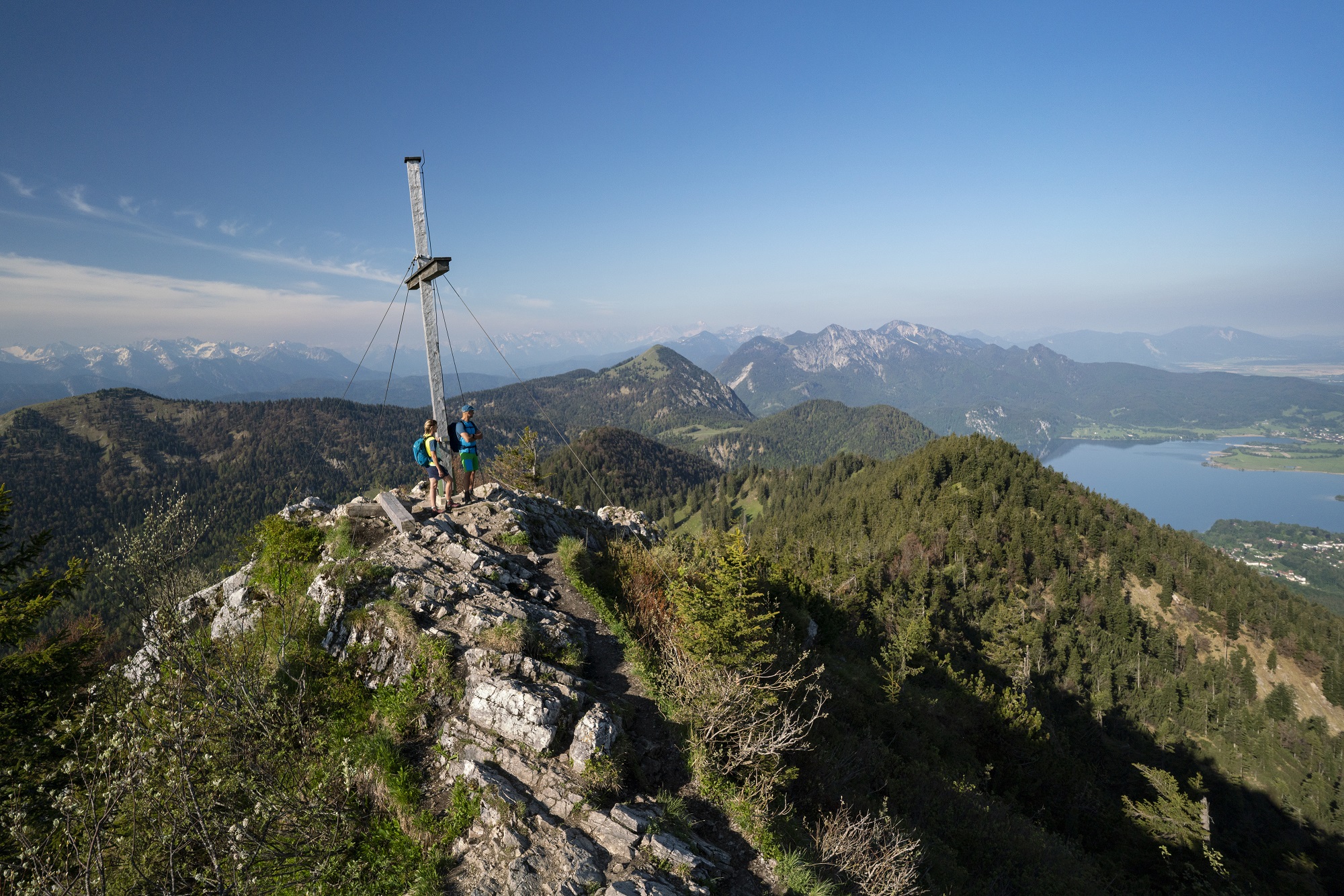
Jochberg
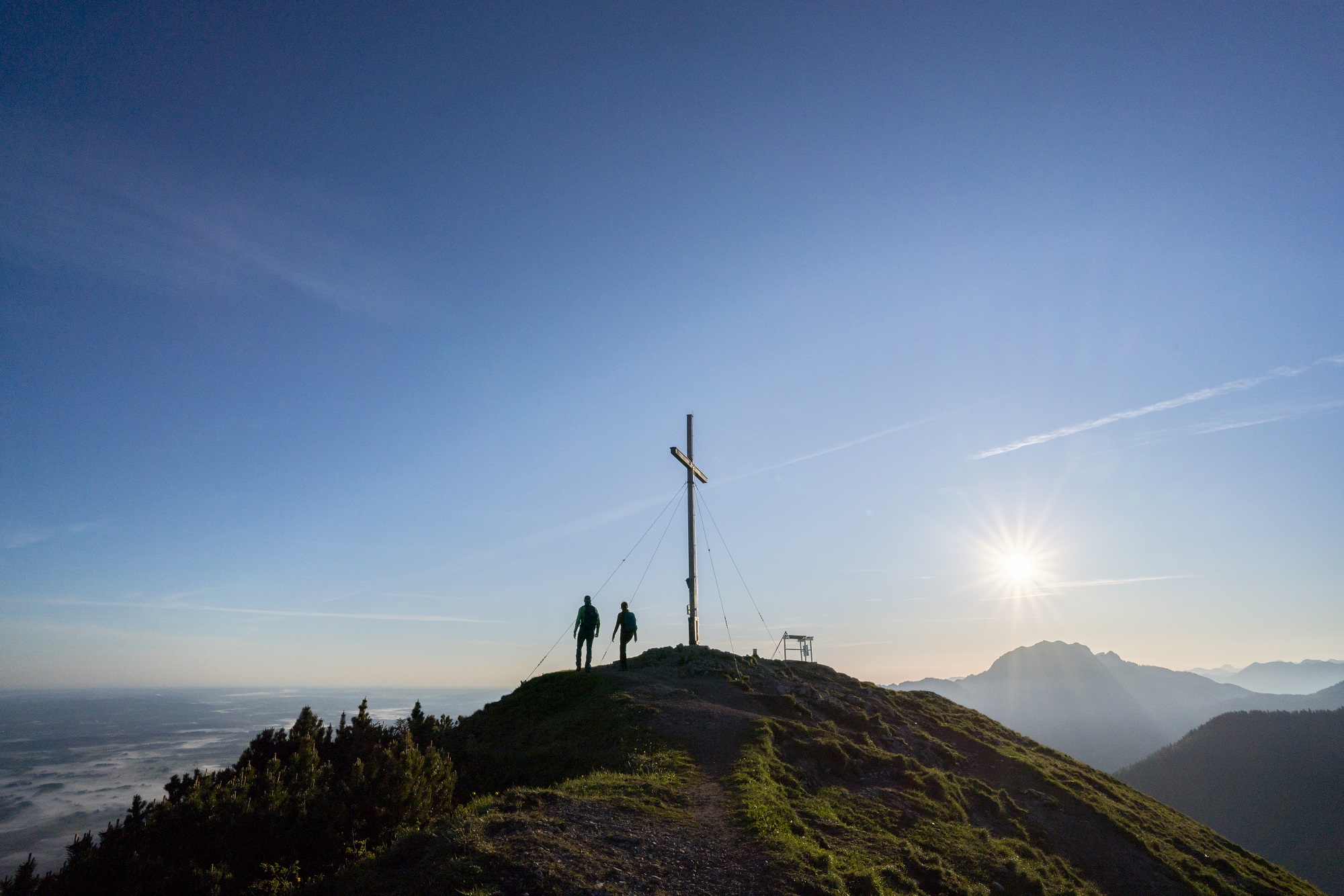
A hike through a generously shaded forest, a free-standing peak with a SUPERB view of both lakes, and a stop-off at the Jocheralm.
Start: Top of the Kesselberg Pass (Kesselberg Passhöhe)
3.4 km elevation gain of 758 m
Staffelalm / Rabenkopf
A hike to Franz Marc‘s favourite Alpine pasture, below the Rabenkopf.
Start: Pessenbach car park
5.6 km elevation gain of 911 m
Hiking maps: Kochel am See and Walchensee Tourist Information Office.
Online tour suggestions and descriptions available free of charge from our partners “outdooractive” and “komoot”
Our tip: Guided mountain tours in the summer months through the Tourist Information Office. Individually guided tours with “DIE BERGFÜHRER”, Ohlstadt, Tel. +49 (0)8841 627085, www.die-bergfuehrer.de